Dispatches from the Consortium for Scenario Planning 2019 Conference
Dispatches from the Consortium for Scenario Planning 2019 Conference
Scenario planning – a flexible and indispensable methodology for considering alternative futures and identifying appropriate planning responses – is a growing area of practice for EDR Group. As we explain in our Emerging Topic page on scenario planning, it is a useful tool for guiding infrastructure investment plans in the face of uncertainty related to sea level rise, technology adoption, economic growth, and just about any uncertain factor you can imagine.
Scenario planning – a flexible and indispensable methodology for considering alternative futures and identifying appropriate planning responses – is a growing area of practice for EDR Group. As we explain in our Emerging Topic page on scenario planning, it is a useful tool for guiding infrastructure investment plans in the face of uncertainty related to sea level rise, technology adoption, economic growth, and just about any uncertain factor you can imagine.
In light of our experience in scenario planning, this week I participated in the Consortium for Scenario Planning Conference in Hartford, Connecticut. Along with my co-presenter Chris McCahill (Deputy Director of the State Smart Transportation Initiative at the University of Wisconsin–Madison), I led a session entitled Transportation Scenarios: Performance Metrics for Planning. Our session addressed how performance metrics help planners 1) understand the complex connections between transportation and land use and 2) measure the performance of different investments in future scenarios.
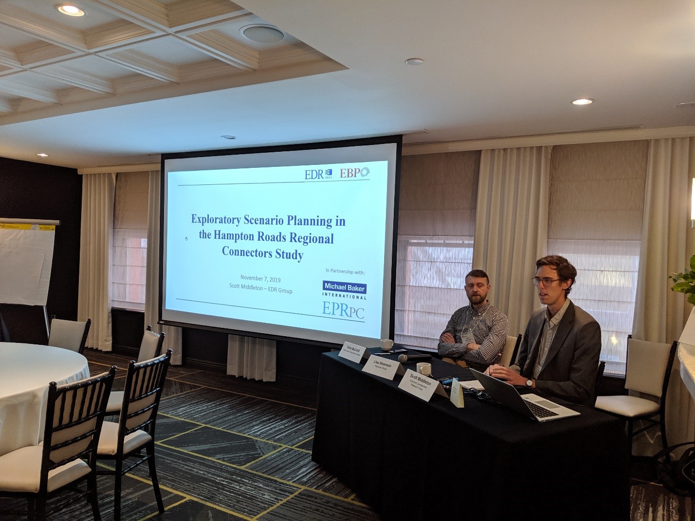
Our session especially explored one category of performance metric—destination accessibility. To illustrate this concept, I shared EDR Group’s experience working on the Regional Connector Study for Virginia’s Hampton Roads Transportation Planning Organization (HRTPO). The Regional Connector Study is a major effort to investigate transportation options that connect across Hampton Roads Harbor. Because of the significance of these potential investments and uncertainty about long term growth and needs in the region, the Regional Connector Study incorporates a scenario planning process that compares a baseline 2045 scenario against three alternative “greater growth” scenarios. Our analysis links the characteristics of these three scenarios to a regional land use model and HRTPO’s travel demand model to produce socioeconomic forecasts and construct performance measures related to accessibility and other regional priorities. Ultimately HRTPO will test alternative Regional Connector investments against each scenario to measure performance under these three scenarios. As part of this process, EDR Group and its partners are proposing several accessibility metrics to evaluate alternative scenarios, including:
- Labor market accessibility: Employment-weighted population within 40 minutes
- Labor market accessibility: Dollars of regional value added resulting from increased accessibility
- Multimodal accessibility to jobs: Change in total jobs accessible via multiple modes
- Accessibility to key tourist destinations: Change in accessibility within specified range
- Cross-Harbor Delay: (Change in) travel time delay on trips across Hampton Roads harbor
- Cross-Harbor Reliability: Changes in buffer time for cross-harbor trips
What followed was a great conversation with lots of interest from representatives of MPOs, federal agencies, and academic institutions. I was grateful for questions ranging from the technical (How does our TREDIS tool integrate with local land use models to produce performance measures?) to the visionary (How do our scenarios explore future changes in manufacturing technologies and supply chains?). The questions kept me on my toes and helped draw connections to the other two sessions in the transportation track: Local Transportation Decision-Making and Exploratory Scenario Planning to Inform Investments. As a participant, these other sessions offered a useful introduction to the Federal Highway Administration’s VisionEval tool for exploratory scenario planning and Delaware Valley Regional Planning Commission’s approach to incorporating non-linear trends such as climate change, technology, and equity in its planning process.
In addition to the sessions I took part in, two other items on the conference agenda caught my eye as a Connecticut native curious about how people move about the Nutmeg State. The first was a presentation on the future of the I-84 viaduct, which offers an extraordinary opportunity for redevelopment in Downtown Hartford (see photo). The second was a tour of the (relatively) new CTfastrak bus rapid transit system guideway with staff from the Connecticut Department of Transportation as well as local public works, planning, and economic development departments from cities and towns along the route. Born of a two-decade long planning process to redevelop an unused rail right-of-way into a dedicated, 11-mile busway, the project is generating several opportunities for large-scale transit-oriented development, including in lower-density, car-oriented communities. The economic development potential is great and a worthy object of consideration for other communities seeking to build large-scale transit investments in a highly uncertain environment.

Tags:
#scenario planning
